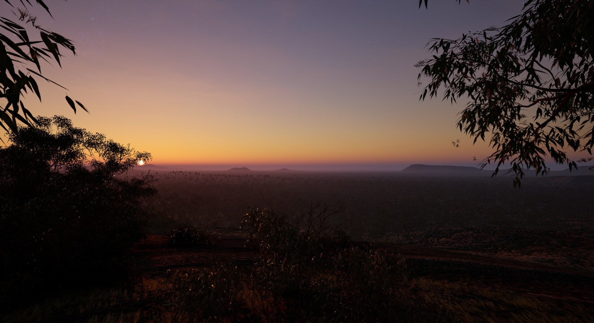
What you see
Six Seasons is in two parts, and both are the same country. The ground is real: a model of the land and the seabed around Kinjarling, built from survey data — five-metre lidar over the town, Mt Clarence and Middleton,1 national elevation models beyond (Geoscience Australia & ICSM, 2026), and the floor of the Sound from multibeam sonar and the AusBathyTopo grid (Evans & Beaman, 2024). Take the sea away and it is the country as it stood when King George Sound was dry land.2
The first part stays on and around Mt Clarence and lets the year turn through it: Birak, Bunuru, Djeran, Makuru, Djilba, Kambarang. Each season is named, in Menang voice, as it arrives. By night the sky above is the Milky Way as photographed from the observatories of Chile’s Atacama and the Canary Islands — nearly 1,200 photographs stitched into one sky (ESO/S. Brunier, 2009). The grass dries and bleaches, the light lengthens and reddens.
Nothing here is scattered at random. The planting follows OCBIL theory (Hopper, 2009): the south-west of Australia is one of the world’s great examples of an old, climatically buffered, infertile landscape, where plants are local specialists, each fitted to its own ground — granite, sandplain, laterite. No generic library of trees could represent that, so the plants were modelled one species at a time from photographs of the flora of the Albany region — karri and marri, jarrah, red flowering gum, peppermint and paperbark, banksia, sheoak, grass trees — and they grow only where there is soil, never on bare granite.
The whole landscape is a simulation built in Unreal Engine, with one seasonal clock running through it: as the year turns the leaves move between lush and dry, and particular species come into flower in their own season, as they do on this coast. Makuru brings the storms across the granite.
With Djilba and Kambarang the country greens again, and flowers.
The second part lets the sea come back. From five points around King George Sound, the same drowning is seen again and again — the last forty metres of the sea’s rise, several thousand years of it, each view taking its own part and running it in half a minute, the seasons still turning. The water crosses the drowned plain, fills the harbours and cuts hills off as islands.3 Salt comes ahead of the water. The simulation follows it plant by plant: each tree and shrub has its own tolerance, and dies as the sea rises close enough to poison its ground, so the forest thins before it drowns, and a fringe of dead trunks stands out into the shallows.
Not everything keeps the same clock. The sea rises across thousands of years; the light moves as if through a single day; the plants stand as if in a single moment, and die only on the sea’s clock. It is an artistic impression built on measurement: the height of the sea is guided by reconstructions of sea level through the last glacial cycle (Lambeck & Chappell, 2001), but its pace is compressed and its detail imagined.
No people are shown. Presence is there only as smoke and fire — embers on the dark plain, smoke rising from the high ground, fires burning along the last shore. The fires follow rules of their own: they burn only on dry ground above the sea, two or three at a time, lit in one place and gone the next like a burning mosaic, and they retreat uphill as the water comes. At the end the water reaches the foot of the hills at Kinjarling, and the piece hands on to Four Seasons.